





Ultrasonic Distance Sensor with GNSS (NB-IoT) EM400-MUD N03GL – Milesight
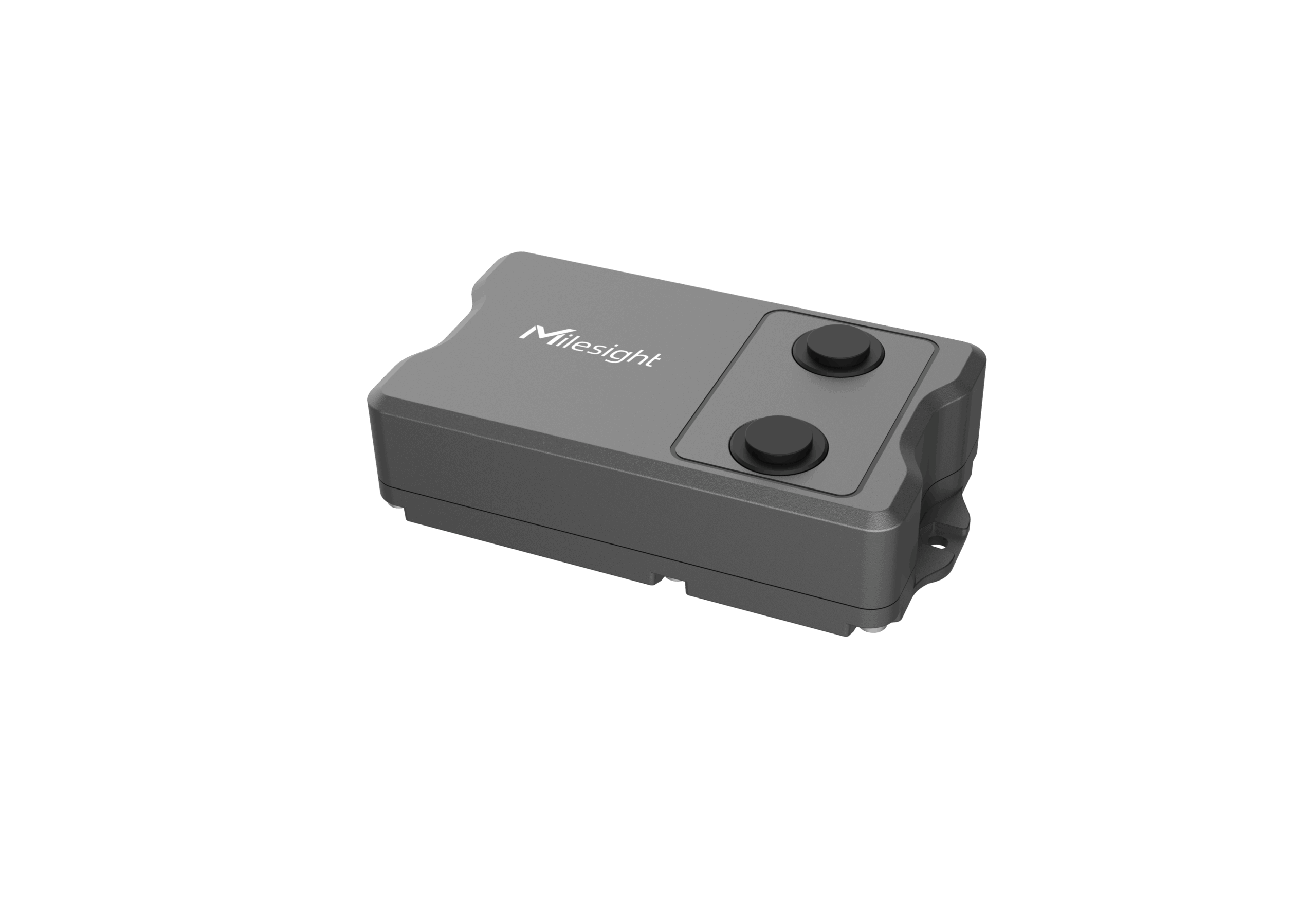
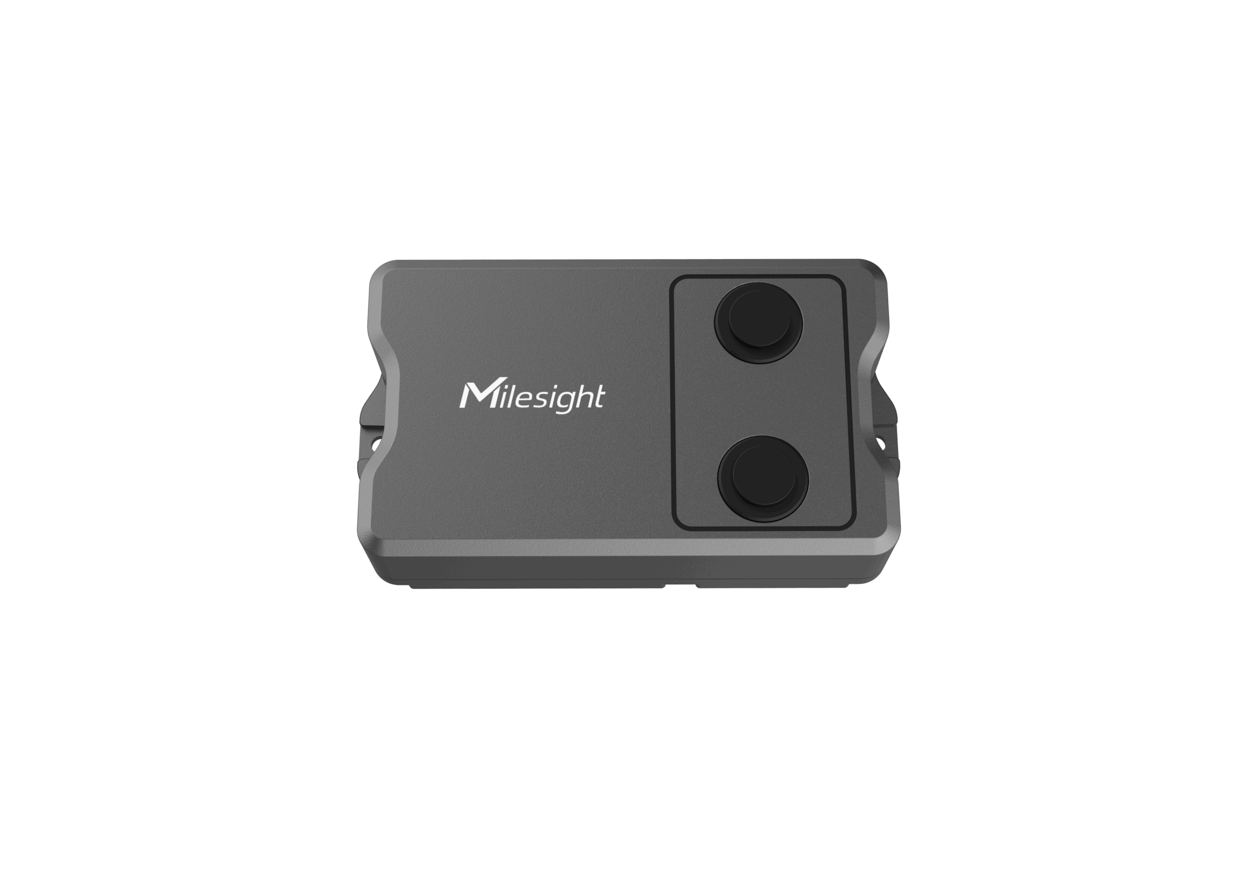
The Milesight EM400-MUD N03GL is an NB-IoT ultrasonic distance sensor for distance/level monitoring from 3 to 450 cm, with GNSS positioning for location-aware deployments. Designed for rugged outdoor use with IP67 protection and long-life batteries. It reports over cellular using TCP/UDP/MQTT/AWS.
incl. VAT145,06 €excl. VAT121,90 €plusShipping Costs
4 in stock
Related items

RAKwireless WisGate Edge Pro Outdoor LoRaWAN Gateway Rak7289cv2 (16 Channel) LTE
SKU: 715100 incl. VAT622,37 €excl. VAT523,00 €plusShipping Costs3 in stock
Outdoor LoRaWAN Gateway 8-Channel – RAKwireless WisGate Edge Pro RAK7289V2 (868 MHz) no LTE
SKU: 715121 incl. VAT442,68 €excl. VAT372,00 €plusShipping Costs2 in stock
Grand total: incl. VAT0,00 €excl. VAT0,00 €plusShipping Costs
Product Description
Technical Details
The Milesight EM400-MUD N03GL is a multifunction ultrasonic distance sensor built for projects that need reliable distance or fill-level data delivered over NB-IoT. It measures without contact, offers a small blind spot, and fits a wide range of level/distance monitoring deployments—without requiring local RF infrastructure.
For field reliability, the unit uses an IP67 enclosure, includes conformal coating on the electronics, and is powered by 2× 9000 mAh ER26500 Li-SOCl2 batteries. The manufacturer lists cellular battery life guidance of around 10 years on TCP/UDP or around 5 years on MQTT/AWS under defined reporting conditions.
A key differentiator of this cellular variant is GNSS positioning (longitude/latitude). That’s useful when devices are deployed across many sites, moved between locations, or when you need clean traceability between measurements and physical placement.
The device also provides normal/tilt status and includes an internal temperature sensor, helping teams combine level/distance data with basic condition and status signals for better operational context.
Concrete real-world examples:
Container/bin level monitoring: detect near-full conditions and optimize service routes.
Remote infrastructure points: distance/level where power/Wi-Fi isn’t available.
Location-aware deployments: GNSS helps assign readings to the right site automatically.
General distance monitoring: track clearances/levels and tilt status in the field.
| Cellular | |
|---|---|
| Cellular Bands | Cat M1: B1/B2/B3/B4/B5/B8/B12/B13/B18/B19/B20/B25/B26/B27/B28/B66/B85 Cat NB2: B1/B2/B3/B4/B5/B8/B12/B13/B18/B19/B20/B25/B28/B66/B71/B85 |
| SIM Slot | 1 × Micro SIM-3FF, 1.8V |
| Application Mode | TCP/UDP/MQTT/AWS |
| Measurement | |
| Distance Range | 3 – 450 cm |
| Accuracy | ± (1 + 0.3%*S) cm, S=distance (-15°C to 60°C) |
| Resolution | 1 mm |
| Beam Angle | 60° |
| Device Position | Normal/Tilt |
| Temperature | |
| Range | -40 to 125°C |
| Resolution | 0.1°C |
| GNSS (cellular version only) | |
| Parameters | Longitude/Latitude |
| Resolution | 0.000001 |
| Operation & Features | |
| LED | 1 × LED indicator (internal) |
| Button | 1 × power/reset button (internal) |
| Power On/Off | NFC, power button (internal) |
| Configuration | Mobile app (via NFC), downlink |
| Advanced Features | Cumulative report (NB version), calibration, threshold alarm, tilt & distance switch |
| Power & Mechanical | |
| Power Supply | 2 × 9000 mAh ER26500 Li-SOCl2 batteries |
| Battery Life (cellular) | TCP/UDP: ~10 years; MQTT/AWS: ~5 years (4 reports/day, 12 packets/report, 30-min collection, 25°C) |
| Operating Temperature | -30°C to 70°C |
| Relative Humidity | ≤95% (non-condensing) |
| Ingress Protection | IP67 |
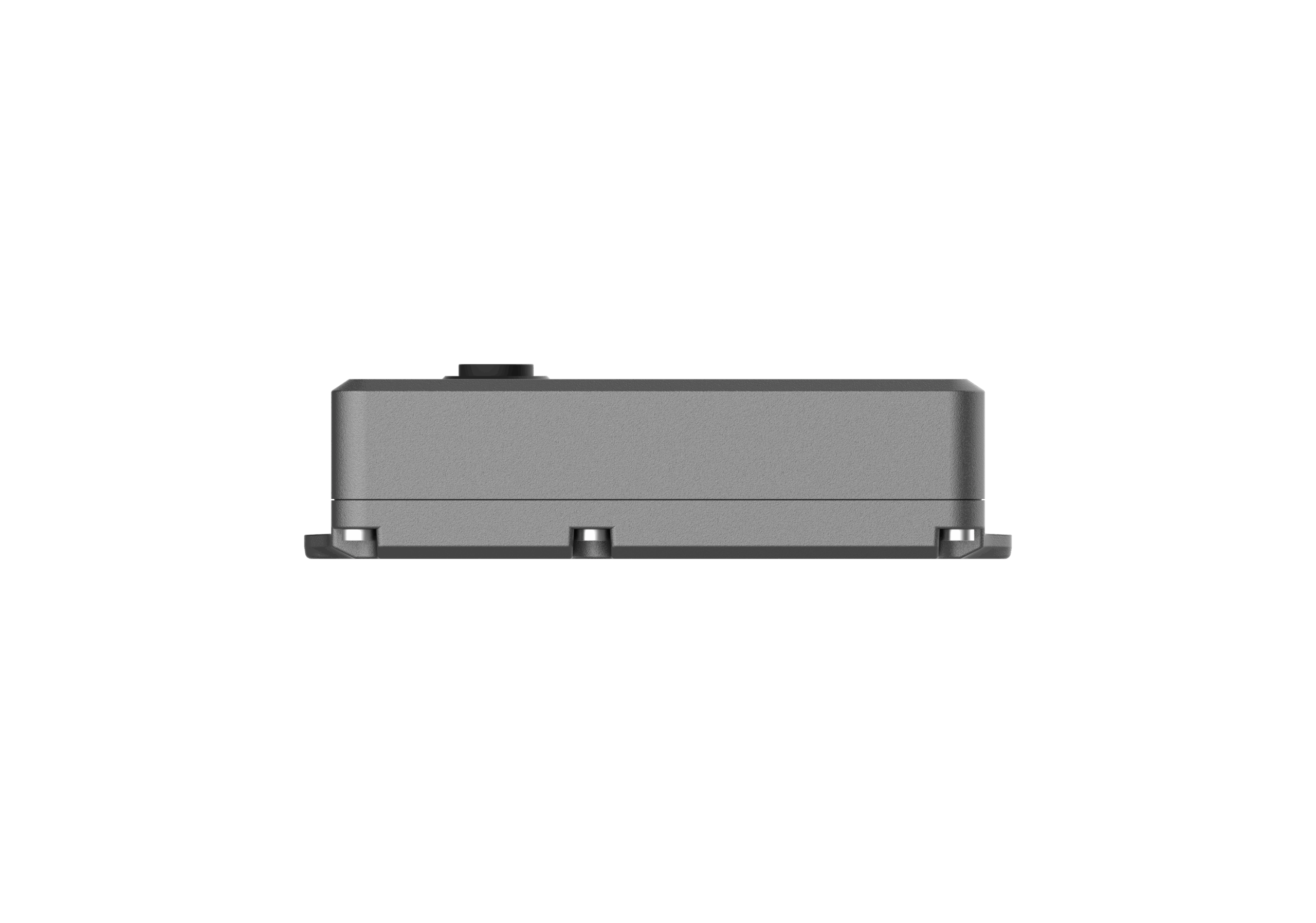
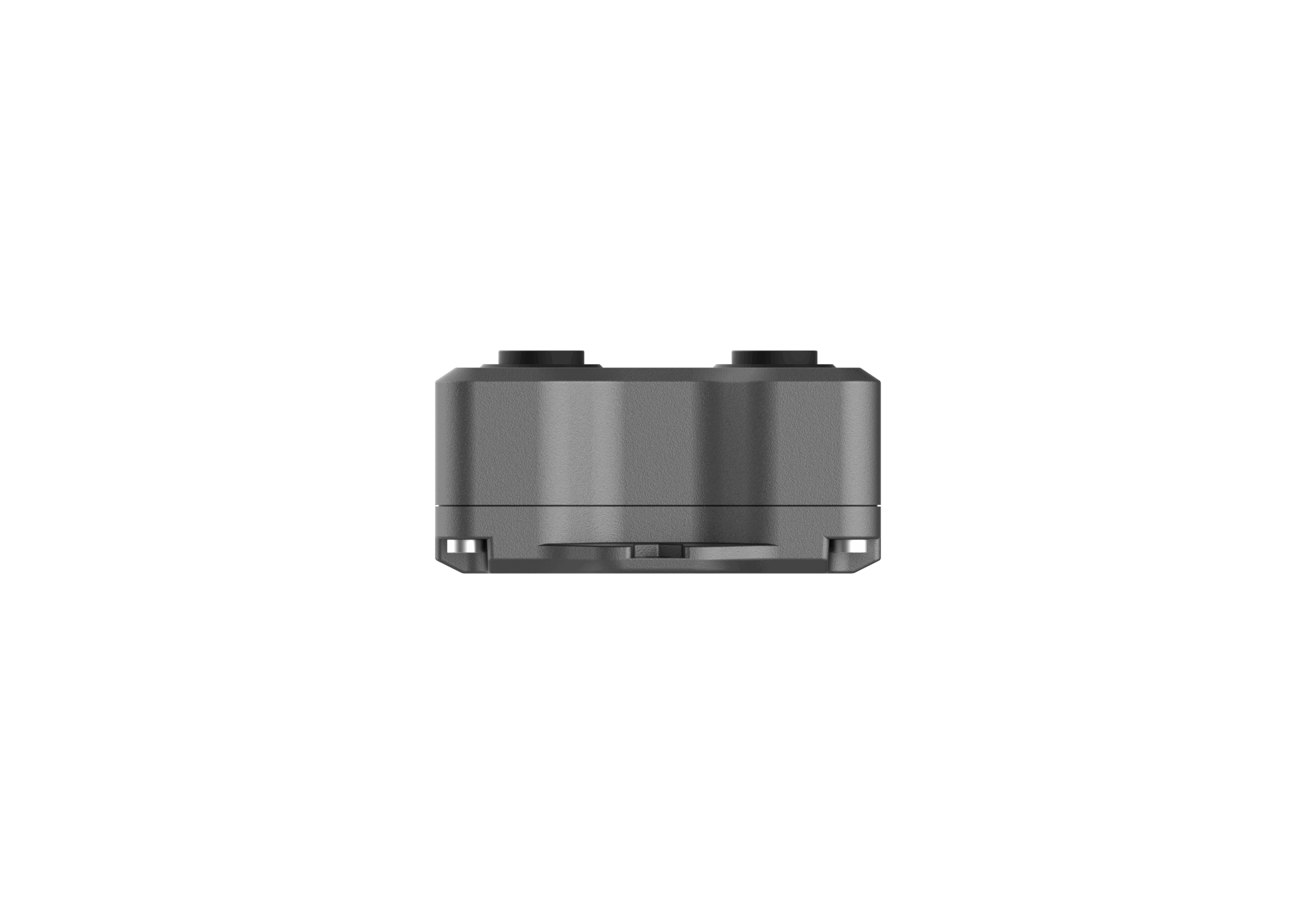
| Dimensions | 118 × 65 × 32.5 mm |
| Housing & Color | ABS + PC (UL94 V0), black gray |
| Weight | 181.4 g (batteries included) |
| Installation | On flat surfaces with screws |
| Approvals | |
| Regulatory | CE, FCC |
| Environmental | RoHS |


